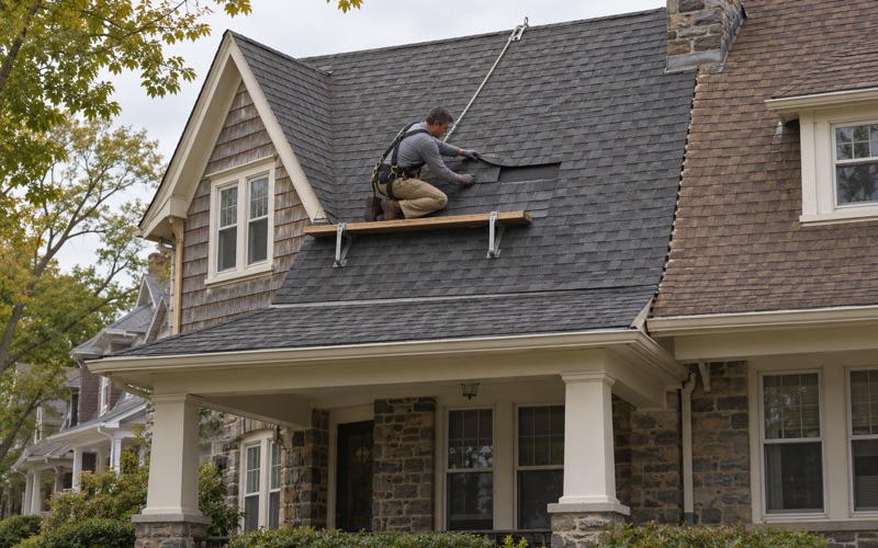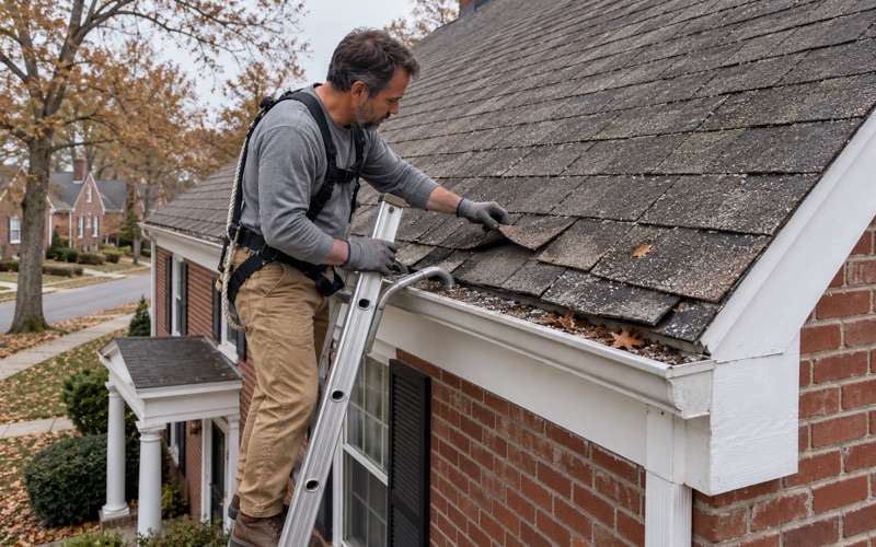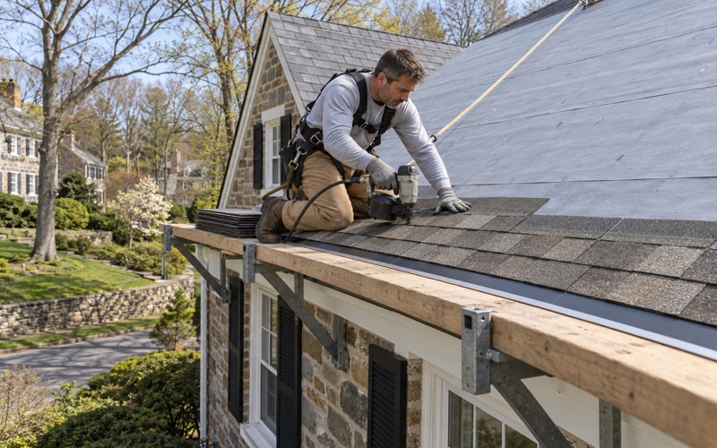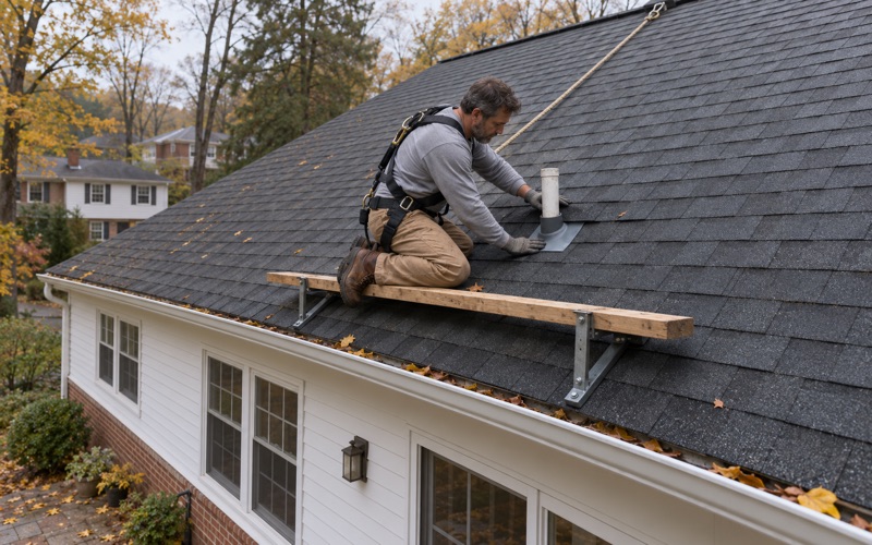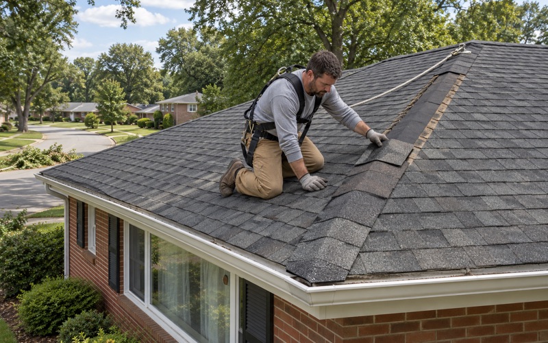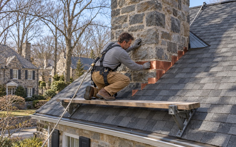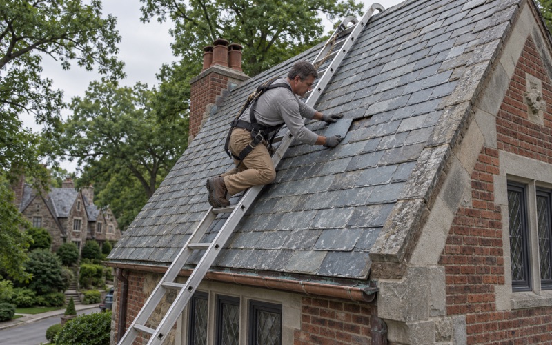
Lower Merion Elite Roofing brings more than 20 years of roofing work to Aston, and every job starts with working out what the roof actually needs rather than what is easiest to sell. A leak call gets a look in the attic as well as on the roof surface, so the water is traced to its real entry point before any number is written down. If the roof can be repaired, we say so before replacement ever comes up.
When replacement is the honest answer, the written scope breaks the job into separate lines for tear-off, decking, underlayment, flashing, ventilation and gutters. That format lets an owner hold our estimate beside another one and compare them item by item instead of guessing what a single lump sum covers.
On some Aston properties the roof is only one piece of a larger decision. Houses close to the water on the township’s eastern side can sit inside a mapped flood area, and there the cost of a re-roof may matter for more than the household budget. The sections below explain why, and how we plan around it.
Chester Creek and Its Flood of Record
The creek on Aston’s eastern edge
Chester Creek forms the eastern border of Aston Township, and much of the township’s early history grew up along its banks. The township’s own history page lists a string of nineteenth-century mills on the creek, among them Lenni Mills, the Pennellton Mill at Bridgewater, Tyson’s Mill at Aston Mills and Crozerville Mills at the foot of Hollow Hill.
Those mills were damaged by the flood of August 5, 1843, so the creek’s habit of leaving its banks was known long before anyone drew a modern flood map. The water that powered Aston’s early industry is the same water that shapes how some creekside homes are treated today.
September 1971
The creek’s flood of record came on September 13, 1971, after days of thunderstorms over southeastern Pennsylvania. The USGS gauge known as Chester Creek near Chester, which sits downstream of the township, peaked at 21,000 cubic feet per second and a gage height of 24.59 feet.
Nothing else in that gauge’s peak record comes close. The next highest peaks in its record are 14,400 cubic feet per second from November 1950 and 13,400 during Hurricane Floyd on September 16, 1999. The September 1971 storm stands well apart from every other entry in that record.
What the flood meant for Aston families
A USGS report on the storm counts twelve people who lost their lives across southeastern Pennsylvania and more than 400 families driven from their homes. A Daily Times retrospective published around the fiftieth anniversary lists Aston among the upstream places hit by Chester Creek flooding.
That same retrospective names a couple from the 800 block of Concord Road in Aston among the dead. The creek’s history here is not abstract, and it is part of why federal flood rules still shape decisions about houses near the water.
Looking for roofing closer to Manayunk? See Manayunk Roofing.
Aston’s Flood Map and the 50 Percent Test
A mapped flood community
Aston takes part in the National Flood Insurance Program as community 421602. FEMA first identified flood hazards here on a boundary map dated October 25, 1974, issued the first Flood Insurance Rate Map on July 16, 1981, and dates the current effective flood map November 18, 2009.
The township holds no Community Rating System class, so Aston policyholders receive no Community Rating System discount on flood insurance. Not every Aston address lies inside the mapped special flood hazard area, and whether a particular house does is a question the map answers parcel by parcel.
How substantial improvement works
Under the federal floodplain rules, any reconstruction, rehabilitation, addition or other improvement to a building whose cost equals or exceeds 50 percent of its market value before work begins is a substantial improvement. The cost is measured against the structure itself, not the land under it. A building in the special flood hazard area that crosses that line must then meet the floodplain elevation and construction standards.
That is a serious consequence for a house built before the maps existed. It can turn a planned renovation into a far larger project, which is why the threshold is worth understanding before work is booked rather than after the contracts are signed.
Where a roof fits in the tally
FEMA practice counts roof work as part of the improvement cost. A re-roof on its own is a modest share of what most houses are worth, but a roof rarely travels alone when a house has seen water, wind or a long run of deferred upkeep.
When new siding, windows, a kitchen or interior repairs are planned for the same period, the roof belongs in the same total. The township sets its own local floodplain details, so we send owners to Aston Township for how it counts that period before a combined plan is settled.
When the house sits outside the mapped area
For a house outside the special flood hazard area, the federal substantial improvement rule does not reach the re-roof. The roof is then planned and priced on its own merits, with the same itemized scope and the same attention to decking, flashing and ventilation.
Inside the mapped area, the roof becomes one entry in a larger sum. That difference is why we ask about the flood map at the first visit on a creekside house, before a scope is drafted, rather than raising it once the price is already on paper.
Planning Roof Work on a Creekside Aston House
Start with the numbers, not the shingles
For a house near the creek, we ask early whether other work is planned around the same time. If it is, we keep our pricing broken out so the roofing share of the total is easy to isolate and hand to whoever is adding up the project against market value.
The line-item format is the same one every customer receives. Here it serves a second purpose, because a lump-sum roofing price is hard to place inside a substantial improvement calculation and a scope with each component priced separately is not.
Timing the roof against the other work
Owners near the creek sometimes ask whether to roof first or last when several projects are lined up. The roof usually goes before interior finishes, because a dry building protects everything installed inside it.
We put dates on our part of the work so the owner has a clear record of when the roof was done and what it cost. That record is useful to anyone who later has to show how a project was measured against the 50 percent test.
Decking and flashing found under the old roof
Some of what a roof costs is not known until the old layers come off. When we find damaged decking, we photograph it and show the owner before any sheet is replaced, at a per-sheet price already written into the contract, so the final figure does not move by surprise.
Step, counter and chimney flashing is replaced with the new roof rather than reused beneath it. On a house that is also getting siding or window work at the walls, fresh flashing at every wall-to-roof joint keeps the two projects from leaving a weak seam between them.
Gutters and where the water goes
We size and pitch gutters and downspouts as part of the roof plan rather than treating them as an afterthought. A roof sheds a great deal of water in a heavy storm, and a gutter line that is undersized or pitched the wrong way sends it over the edge and down the foundation wall.
On a creekside lot, the place each downspout lets out deserves a deliberate choice rather than a default. We talk through those discharge points with the owner while the roof is being planned, not after the crew has packed up.
Aston Houses and the Roofs on Them
A post-war township
Aston had 5,576 residents at the 1950 count and 10,595 by 1960, a 90 percent jump within a single decade. The housing stock reflects it: 1,604 of the township’s 6,341 homes were built during the 1950s, more than any other decade, while only 299 predate 1940.
A house from that era has very likely been re-roofed at least once already. How many layers sit on a given roof, and what decking lies beneath them, is not written down anywhere, so we confirm both on site before the scope is final.
Village Green-Green Ridge and the streets near the creek
Within the township, the Village Green-Green Ridge area is home to Saint Joseph’s at Green Ridge, a parish founded on July 2, 1947. Most Aston households live in homes they own, with 5,615 of 6,153 occupied homes owner-occupied, so the roof decision usually rests with the person paying for it.
Closer to the creek, along Concord Road and near the old mill sites, the question of flood mapping is more likely to come up. We never assume a house is in or out of the flood zone; the effective map settles it, and the roof plan follows from that answer.
Manufactured homes in Village Green and Sunshine Park
Aston also has two manufactured-home communities: Village Green on Park Avenue, a 55+ age-qualified community, and Sunshine Park on Concord Road. The Census count puts 187 of the township’s housing units in the mobile home category, 163 of them owner-occupied.
A HUD-code home sited in Delaware County is built to the federal South roof-load zone, a 20 psf live load, and Wind Zone I. That design rating is part of what we check before recommending any roofing material for one of these homes.
Storm damage and the claim
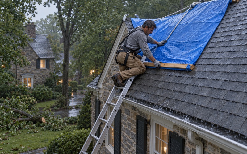
When wind or a falling limb damages an Aston roof, we photograph and write up what we find for the owner’s own insurance claim. Those photos are taken before anything is torn off, so the record shows the roof as the storm left it. If asked, our crew will meet the adjuster on site, though we never negotiate the claim itself.
At the end of each work day the driveway, yard and gutters are cleaned, including a magnet sweep for roofing nails. That matters on any lot, and especially on one where children, pets or a vegetable garden share the yard with the work area.
- 20+ Years Roofing
- Itemized Written Scopes
- Slate Repair Specialists