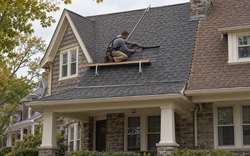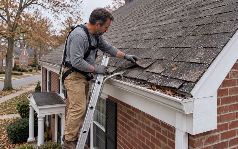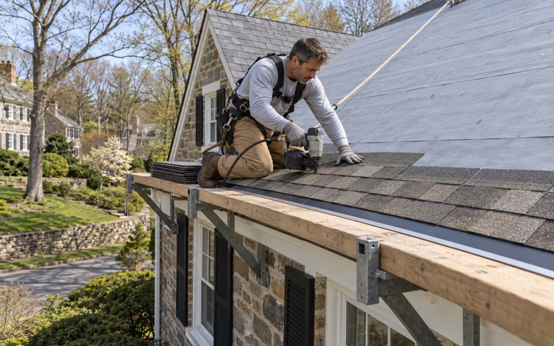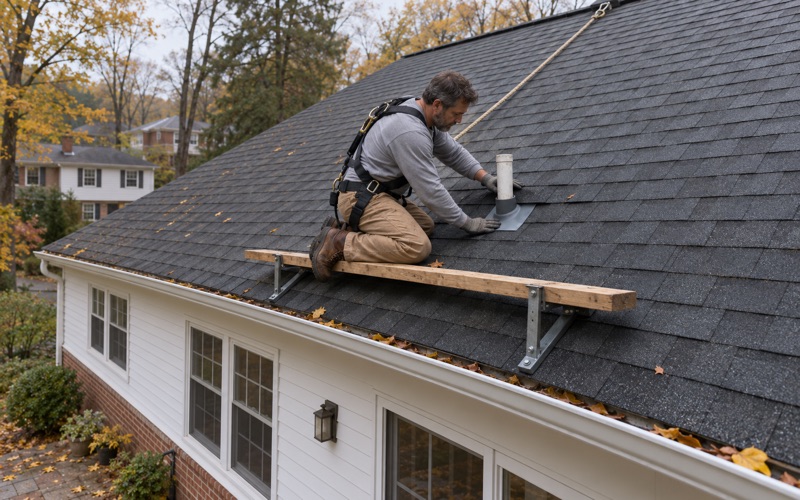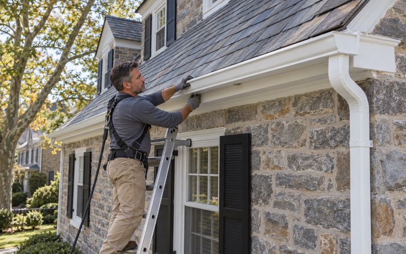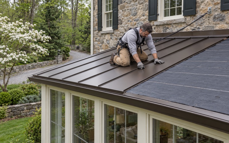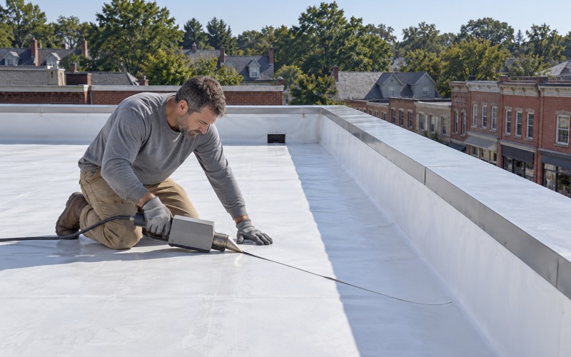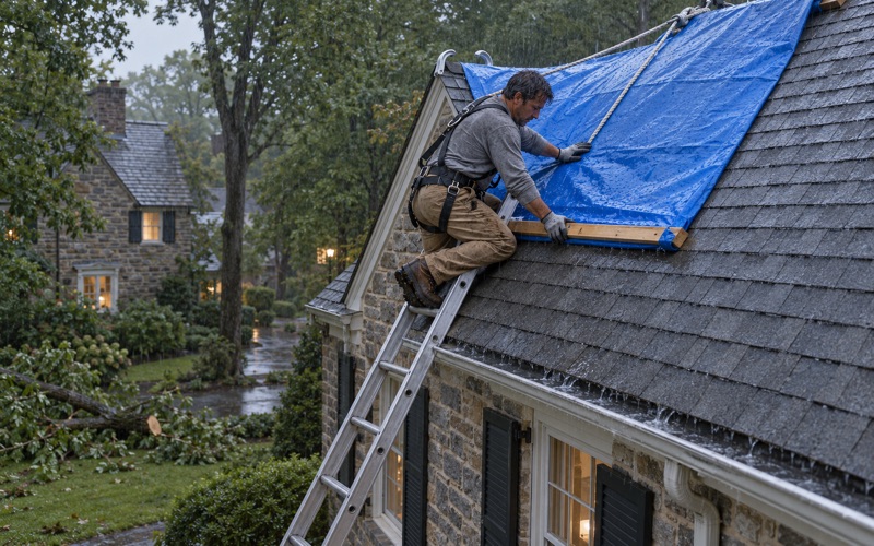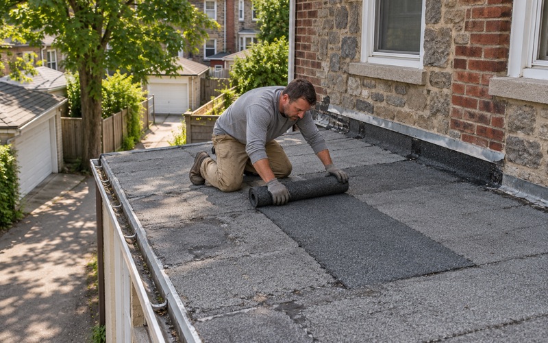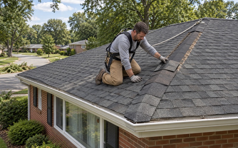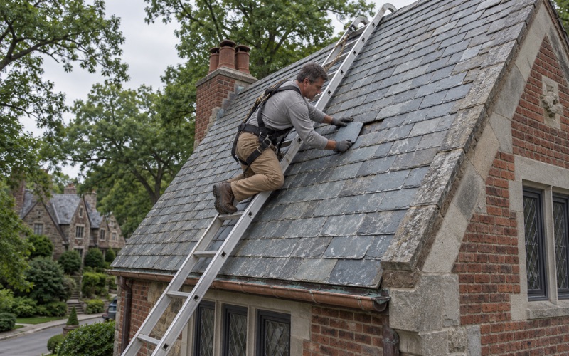
Lower Merion Elite Roofing has spent more than 20 years on roofing in Plymouth Township and across Montgomery County, and every call starts with finding out what actually went wrong before anyone talks about price. A leak visit means time in the attic as well as on the roof, because water rarely shows on a ceiling directly under the spot where it got in. Only once the entry point is traced do we write a number.
That habit matters more here than in most places we work. Some buildings in this township sit close enough to moving water that a wet interior after a storm can come from two directions at once: down through the roof, or up and in from the ground. Sorting one from the other is the part of the job owners most often need help with, and it changes who pays and who does the repair.
We also give a plain answer on repair versus replacement before anything else. If the roof has years left and the fault is a flashing, a boot or a torn section, we say so and price that, and a replacement conversation only starts when the roof itself is finished. Every scope we write breaks tear-off, decking, underlayment, flashing, ventilation and gutters into separate lines, so two estimates can be compared item by item.
Where the Schuylkill River Reaches Plymouth Township

A boundary river, not a riverfront neighborhood
The Schuylkill River forms most of Plymouth Township’s southwestern boundary, yet the township has no riverfront residential district of the kind some river towns have. The places where high water becomes a problem here are along a tributary and a rail edge, on the low ground between Conshohocken Road and the river. That geography shapes most of what follows on this page.
The National Weather Service tracks this stretch of the river with a gauge at Norristown, upstream of the township. Its published impact list names specific Plymouth Township locations and the river stage at which each one starts to take on water. That gives a building owner a way to read a river forecast in terms of their own property rather than a regional headline.
Diamond Run and the backwater at Station Road
Diamond Run meets the river’s low ground at Station Road, which runs off Conshohocken Road. When the Schuylkill rises, the run cannot drain freely, and the weather service lists flooding there due to high and backwater effects. In plain terms, the river pushes water back up the smaller channel, so the level along the run depends on the river as much as on local rain.
The same list names two other township points at the same stage. SEPTA tracks at Mogees begin to flood, and Ross Street floods at the Sewer Authority plant under the railroad bridge and bike trail. Plymouth Creek also appears in Conshohocken Borough’s storm notices, which reach residents along the Schuylkill and the creek when heavy weather is forecast.
Working land along Conshohocken Road
The land near these flood points is commercial and industrial. One 45.92-acre parcel on Conshohocken Road is zoned Heavy Industrial, and the weather service’s own wording for the higher stage refers to businesses and industry rather than homes. That is why this page is written mostly for the owners and managers of working buildings.
For those owners, a storm that drives the river up is rarely just a roofing event or just a flooding event. It tends to be both, arriving within the same day or two, and the decisions that follow are easier when the two are understood separately from the start.
Looking for roofing closer to Milford Township? See Roofing Services in Milford Township.
Reading the Norristown Gauge: 17 and 19.1 Feet
What happens at 17 feet
The Norristown gauge carries three flood categories: minor at 13 feet, moderate at 17 and major at 19. Those thresholds were reset on August 23, 2011, and before that date the categories sat at 17, 19 and 22 feet. An older flood account quoting a stage may not line up with the labels used today.
At 17 feet, the moderate threshold, the Mogees tracks, Ross Street and Diamond Run at Station Road all appear on the impact list. For a building near the run, that is the number to watch in a forecast, because it marks the stage at which backwater starts reaching the area around it.
What happens at 19.1 feet
At 19.1 feet, just past the major threshold, the list states that businesses and industry at Station Road off Conshohocken Road begin to flood. That is the stage at which water stops being a road and track problem and starts reaching buildings. The list does not name which buildings, and neither do we.
An owner on that stretch can turn the two numbers into a simple plan. A forecast near 17 feet is the time to move stock and equipment up, and a forecast near 19.1 feet is the time to expect water at the door. The township falls in the weather service’s Eastern Montgomery forecast zone, PAZ104, issued from the Mount Holly office.
The December 2020 crest, for scale
On December 25, 2020, the Norristown gauge crested at 14.52 feet, above minor flood stage but well below the 17-foot mark where the listed Plymouth points begin. That crest is a useful reference. It shows how much room sits between a high-water event that makes regional news and the stages the weather service ties to this township.
Flood Damage and Roof Damage Are Different Problems
Two kinds of loss, two claims
For a building owner near Diamond Run, a storm that brings both high river water and wind can leave two kinds of damage that look alike from inside. Rising water is generally a flood matter, often under a separate flood policy, while wind and rain entering from above fall under the property policy. Keeping the two apart from the first day is what keeps either claim from stalling.
We photograph and write up what we find on the roof for the owner’s own claim, and we will meet the adjuster on site when asked. We do not negotiate the claim. Our part is to show clearly where water came in from above, so roof damage is neither folded into a flood loss nor dismissed as one.
Reading where the water came from
Water from the ground leaves a level line on walls, racking and stock. Water from the roof leaves stains that track down from the ceiling, along framing, or around penetrations. A stain high on a wall with a dry floor below points upward, not toward the river.
That is why our leak calls start under the roof deck, following staining back toward its source before we climb up. Where a building shows both, we mark each roof entry point on the photos and in the written report, separate from anything below the flood line. The roof repair scope then covers what the roof caused and nothing the river did.
Roof faults that long rain exposes
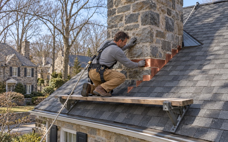
The long rain that feeds a river crest is also the weather that finds weak flashing, cracked pipe boots and clogged drainage. We check step flashing, counter flashing set into a reglet, and kick-out flashing where a roof edge meets a wall, because those are the usual entry points when rain runs for hours. Any flashing we find failing is replaced with new material rather than reused.
Drainage gets the same attention. On older buildings, worn box gutters can send water into a wall cavity, where it later gets blamed on something else. Downspouts that discharge against a foundation on low ground add water to exactly the place an owner is already trying to keep dry.
Planning Roof Work on a Building Off Conshohocken Road
Timing around river forecasts
On low ground near Station Road, we plan a tear-off around the river forecast as well as the calendar. A roof opened for replacement should not sit exposed when the Schuylkill is forecast to approach the 17-foot stage, both for the weather that drives a crest and because flooding at Station Road can cut access. We stage material and schedule each day’s dry-in so the building is never left open overnight.
After a high-water event, we wait for the site to drain and for the owner’s flood cleanup to clear before setting up ladders and lifts. Heavy equipment on saturated ground is a safety problem, and our crews follow OSHA fall protection rules whatever the access looks like.
Plymouth Township permits and flood maps
Plymouth Township has been governed by a home rule charter since 1976, so its rules come from the township rather than the state township code. Code Enforcement is at 700 Belvoir Road in Plymouth Meeting and takes calls at 610-277-4100. As in every municipality we serve, we check the township’s current requirement for the specific building before a job is priced.
The township’s residential code package treats replacement of up to 25% of a roof’s area within any 12-month period as an ordinary repair needing no permit, and says any work not listed requires the appropriate permit. That package is written for houses. For a commercial or industrial building we confirm the requirement with Code Enforcement directly rather than assuming the residential line applies.
FEMA’s community record for the township shows its first flood insurance rate map dated February 15, 1978, and a current effective map dated March 2, 2016. We do not read flood maps or rule on any property’s flood status. An owner who needs that answer should get it from the township or the map itself before budgeting a roof project alongside flood repairs.
Decking, gutters and the end of each day
When the old roof comes off, any damaged decking is photographed and shown to the owner before it is replaced, at the per-sheet price set in the contract. On a building that has taken water from both directions, that record also helps separate long-standing rot from fresh storm damage.
Gutters and downspouts are sized and pitched with the new roof, because a building on low ground gains nothing from sending roof water toward the same spot the run already floods. At the end of every work day the lot and gutters are cleared, including a magnet sweep for nails across drives and loading areas.
- 20+ Years Roofing
- Itemized Written Scopes
- Slate Repair Specialists